Ha Giang Travel Guide: The Great Mountain Roads of Northern Vietnam
Far in the north of Vietnam, close to the Chinese border, Ha Giang is a province of immense limestone mountains, deep valleys, winding roads and villages scattered across some of the country’s most dramatic terrain. It is a place where the journey matters as much as the destination. Roads climb through clouds, disappear around cliffs and reappear above enormous valleys, while rice terraces and stone villages cling to mountainsides.
For many travelers, Ha Giang is experienced through the famous Ha Giang Loop, a roughly 370-kilometer mountain road journey through the Dong Van Karst Plateau. But the province is much more than a motorcycle route. It is also a cultural landscape shaped by Hmong, Tay, Dao, Lo Lo and other communities, a geological region recognized as a UNESCO Global Geopark, and one of the most extraordinary places in Vietnam for slow, scenic road travel.
The farther you travel into Ha Giang, the more the landscape seems to change. Green valleys become walls of limestone. Rice fields disappear into steep mountain slopes. Roads narrow into ribbons along cliffs. In the distance, enormous peaks rise above the Nho Que River.
This is Vietnam at its most mountainous, remote and cinematic.
Where Is Ha Giang?
Ha Giang is Vietnam’s northernmost mountainous province, bordering China to the north. The provincial capital, Ha Giang City, is the usual starting point for the famous loop and is connected to Hanoi by road.
The journey from Hanoi takes around five hours by road under normal conditions, although travel time depends on traffic, weather and whether you are traveling by private vehicle, limousine or bus. Travelers arriving at Hanoi’s Noi Bai International Airport normally continue overland rather than flying directly to Ha Giang.
Ha Giang City itself is not the main attraction. It is better understood as the gateway to the mountains. Once you leave the city and begin climbing toward Quan Ba, the character of the journey changes rapidly.
The roads become narrower, the mountains taller and the valleys deeper.
The Ha Giang Loop
The Ha Giang Loop is one of Vietnam’s most famous road journeys.
The classic route passes through Quan Ba, Yen Minh, Dong Van and Meo Vac before returning toward Ha Giang. Depending on the itinerary, travelers can also take detours to Lung Cu, Du Gia, Kho Muong and other mountain villages.
The full loop is often completed in four days, although travelers can spend anywhere from three days to more than a week exploring the region. Lonely Planet describes the loop as approximately 370 kilometers and notes that four days is the most common duration, while longer journeys allow travelers to explore additional villages and side roads.
The important thing is not to treat the loop as a race.
Ha Giang rewards travelers who stop.
There may be a spectacular viewpoint around the next bend, a village hidden below the road, a roadside market or a mountain path leading somewhere that is not marked on the itinerary.
Why the Ha Giang Loop Is So Special
There are many beautiful motorcycle journeys around the world, but Ha Giang has an unusual combination of geological drama and cultural depth.
The road does not simply pass through mountains. It passes through a landscape where enormous limestone formations dominate every horizon.
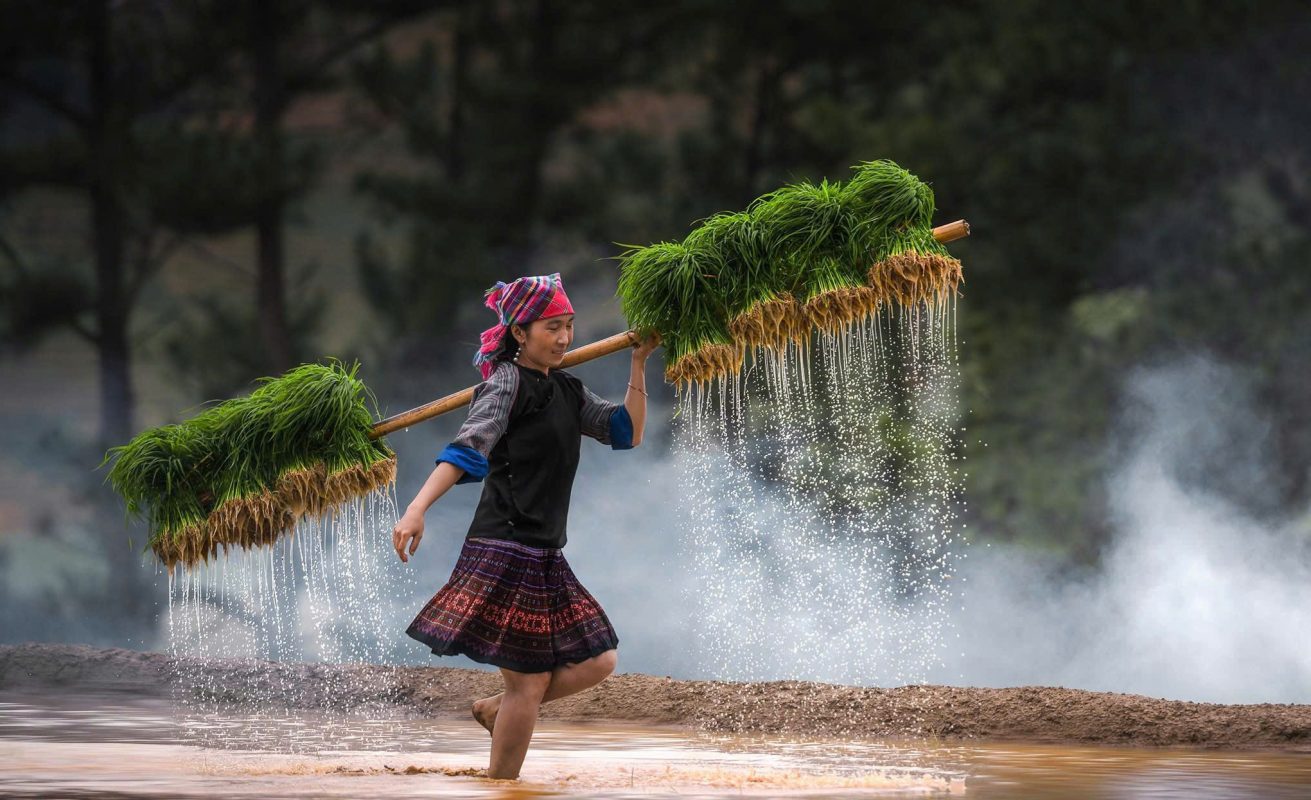
At the same time, the valleys are inhabited and cultivated. Rice terraces, cornfields, traditional houses and livestock appear between the mountains.
The result is a journey through both nature and everyday life.
National Geographic’s recent feature on the Ha Giang Loop describes the route through golden rice terraces, dramatic mountain passes, deep valleys and cloud-covered peaks, emphasizing how much of the experience comes from the road itself rather than individual attractions.
Dong Van Karst Plateau UNESCO Global Geopark
The geological heart of Ha Giang is the Dong Van Karst Plateau UNESCO Global Geopark.
The geopark covers a vast mountainous region characterized by limestone formations, deep canyons, caves, fossils and distinctive karst landscapes.
UNESCO lists Dong Van Karst Plateau among Vietnam’s UNESCO Global Geoparks, alongside Non Nuoc Cao Bang, Dak Nong and Lang Son.
Travelers do not need to be geologists to appreciate what this means.
You simply have to look around.
Sharp limestone peaks rise from valleys. Huge rock walls surround narrow roads. Mountains appear stacked one behind another, sometimes disappearing into mist.
The landscape feels ancient because it is.
Quan Ba and Heaven’s Gate
For many travelers, Quan Ba is where the Ha Giang experience truly begins.
The road climbs toward Quan Ba Heaven’s Gate, one of the first major mountain viewpoints on the loop. From the higher elevations, the surrounding valleys open beneath you, revealing layers of limestone mountains and cultivated fields.
The road itself is part of the attraction.
Hairpin bends climb through the mountains, and every few minutes the view changes.
Vietnam Tourism describes Quan Ba as an important gateway to the Dong Van Karst Plateau, with Heaven’s Gate providing an early introduction to the dramatic landscapes that define Ha Giang.
The Twin Mountains of Quan Ba
Below Heaven’s Gate are the distinctive Quan Ba Twin Mountains, two rounded green-covered peaks rising from the valley.
They are sometimes known as Fairy Mountains and have become one of the recognizable symbols of the region.
From the viewpoint above, the mountains appear almost perfectly placed within the agricultural landscape.
The valley around them is also worth exploring rather than simply stopping for a photograph. Fields, houses and roads create a sense of how communities have adapted to a mountainous environment where flat agricultural land is limited.
Nam Dam Village
Near Quan Ba, Nam Dam Village provides a gentler introduction to Ha Giang’s cultural landscape.
The village is associated with the Dao community and is known for traditional houses, mountain scenery and homestay experiences.
For travelers who do not want to spend every night in a busy tourist center, Nam Dam can be an appealing overnight stop.
The village is also a useful example of how tourism can support community-based accommodation while allowing visitors to experience a more rural side of the province.
Yen Minh: The Mountain Road Continues
After Quan Ba, the road continues toward Yen Minh through increasingly dramatic terrain.
The landscape gradually becomes more rugged, with forests and limestone peaks replacing the wider valleys around Quan Ba.
Yen Minh is often treated as simply an overnight stop on the loop, but travelers who are not rushing can explore the surrounding countryside.
This is one of the important lessons of Ha Giang: the towns themselves may be less memorable than the landscapes between them.
The road connecting two destinations can be the highlight.
Lung Tam Weaving Village
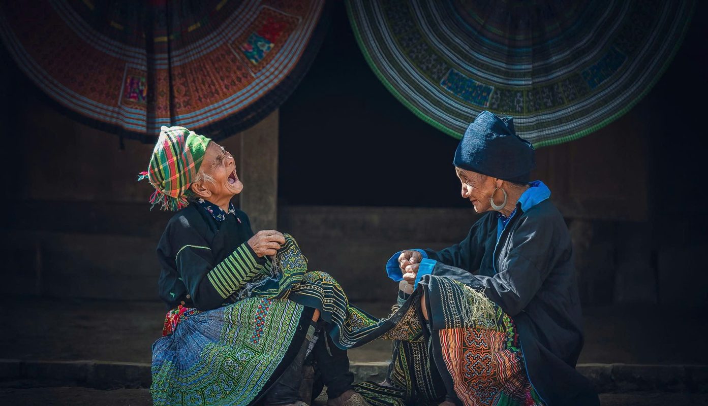
For travelers interested in traditional craft, Lung Tam offers a chance to learn about Hmong textile production.
Women in the community have traditionally worked with hemp, weaving and embroidery to create textiles that carry distinctive patterns and cultural meaning.
A visit here adds another dimension to the Ha Giang journey.
Instead of simply photographing traditional clothing, travelers can see the work involved in producing it and understand that these textiles represent knowledge passed through generations.
Lonely Planet includes Lung Tam as a worthwhile detour from the main Ha Giang Loop, particularly for travelers interested in traditional Hmong weaving and embroidery.
Hmong Culture and the Mountain Villages
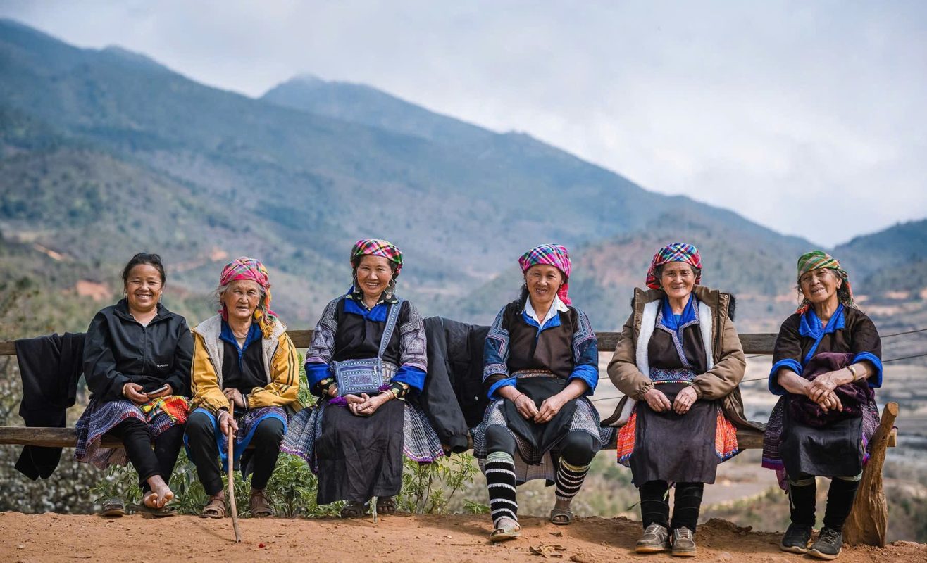
Ha Giang is home to a remarkable diversity of ethnic communities.
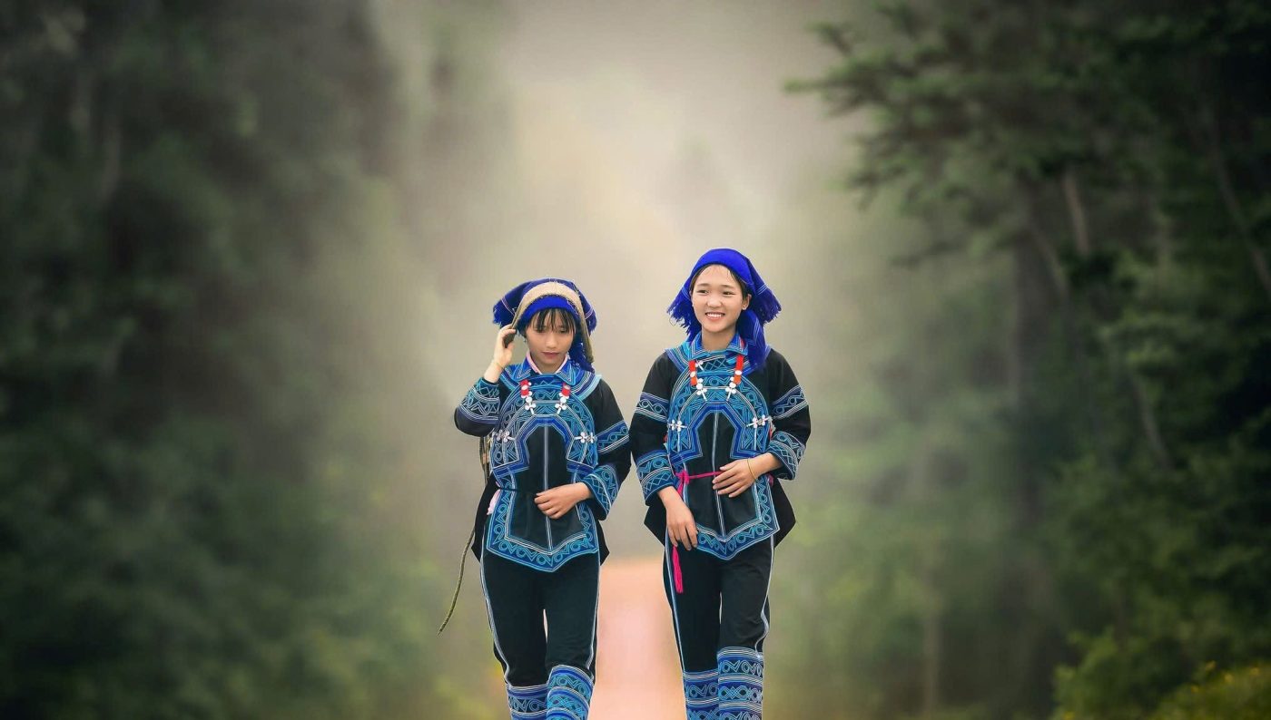
Hmong communities are particularly prominent across the Dong Van region, while Tay, Dao, Lo Lo and other groups also contribute to the cultural landscape.
Their presence can be seen in clothing, architecture, agriculture, markets, language and festivals.
But culture here should not be treated as a performance designed for tourists.
People are living their everyday lives.
Farmers work in the fields. Families prepare meals. Children travel between villages. Markets operate according to local rhythms.
The best cultural experiences happen when travelers approach these communities with curiosity and respect.
Dong Van Old Town
After the mountains around Yen Minh, the road eventually reaches Dong Van, one of the most important towns on the loop.
Dong Van’s old quarter has a distinctive atmosphere, with older buildings surrounding a central market area.
The town is an ideal place to stop after a long day on the road.
In the evening, the pace slows down. Travelers gather in small cafés and restaurants while the surrounding mountains disappear into darkness.
It is also worth waking early.
The morning atmosphere in Dong Van can be completely different from the busy arrival period.
Dong Van Market
If your itinerary coincides with a market day, Dong Van Market is one of the most interesting cultural experiences on the loop.
People from surrounding mountain communities travel into town to trade food, livestock, textiles and everyday goods.
Traditional clothing makes the market particularly colorful, but the real value lies in observing how the market functions as part of community life.
This is not simply a souvenir market.
It is a place where people come to buy, sell, meet friends and exchange news.
Travelers should photograph respectfully and avoid turning individuals into anonymous subjects without permission.
The Vuong Family Palace
One of the most unusual historical sites in the region is the Vuong Family Palace, sometimes called the Hmong King’s Palace.
Located near Sa Phin, the complex was built in the early 20th century for Vuong Chinh Duc, a powerful Hmong leader in the area.
The architecture reflects a mixture of Hmong, Chinese and French influences, reflecting the complex political and cultural history of the northern mountains.
The palace is particularly interesting because it provides a glimpse into a different side of Ha Giang’s history.
Beyond the spectacular roads and scenery, this was a region shaped by trade, power, ethnicity and relationships across the border.
Lung Cu Flag Tower
One of the most symbolic destinations in northern Vietnam is Lung Cu Flag Tower, near the Chinese border.
The tower stands on a mountain above the surrounding landscape and is commonly associated with Vietnam’s northernmost point.
Reaching the top requires climbing a significant number of steps, but the panoramic views make the effort worthwhile.
From above, the landscape stretches across layers of limestone mountains and valleys.
Lonely Planet notes that the climb includes almost 400 steps to the base and additional steps within the tower structure itself.
Lolo Chai Village
Just below Lung Cu lies Lolo Chai, a small village associated with the Lo Lo ethnic community.
The village’s traditional houses and quiet paths provide a strong contrast with the dramatic mountain roads.
It is an excellent place to slow down and observe architecture, agriculture and village life.
For travelers interested in cultural photography, Lolo Chai can be particularly rewarding, but the same principle applies throughout Ha Giang: ask permission before photographing people, especially in intimate domestic settings.
Ma Pi Leng Pass
If one section of the Ha Giang Loop has become legendary, it is Ma Pi Leng Pass.
The road climbs along an extraordinary mountain landscape between Dong Van and Meo Vac, with huge limestone cliffs rising on either side and the Nho Que River far below.
The scale is difficult to understand from photographs.
The road appears impossibly narrow against the mountains, while the valley beneath seems to fall away almost vertically.
Vietnam Tourism calls Ma Pi Leng the jewel of Ha Giang and highlights the spectacular road that follows the Nho Que River.
The Ma Pi Leng Sky Path
For travelers who want more than a roadside photograph, the Ma Pi Leng Sky Path provides an opportunity to experience the pass on foot.
The trail follows the mountain landscape and leads toward viewpoints overlooking the enormous valley.
Even a short walk can provide perspectives impossible to appreciate from a moving vehicle.
The terrain can be steep, so suitable footwear is important.
On clear days, the views are extraordinary. On misty days, the mountains can become more atmospheric and mysterious.
The Nho Que River
Far below Ma Pi Leng lies the vivid green Nho Que River, one of Ha Giang’s most photographed natural features.
The river cuts through the limestone mountains, forming deep valleys and canyons.
From the road above, it appears almost impossibly distant.
Travelers can also reach sections of the river by boat, allowing them to see the mountains from below rather than above.
Lonely Planet recommends a boat journey on the Nho Que as a way to experience the karst landscape from a completely different perspective.
Tu San Canyon
The dramatic gorge associated with the Nho Que River is Tu San Canyon, one of the most spectacular geological landscapes in Ha Giang.
The towering cliffs create an extraordinary sense of scale.
A boat journey along the river allows travelers to look upward at the rock walls, revealing just how dramatically the landscape rises from the water.
This is one of those moments when leaving the motorcycle behind makes the journey better.
After hours on mountain roads, stepping onto the river creates a completely different perspective.
Meo Vac
At the eastern end of Ma Pi Leng Pass lies Meo Vac, a small mountain town surrounded by dramatic limestone landscapes.
Meo Vac is particularly famous for its Sunday market, when people from surrounding communities gather in town.
The market provides an opportunity to see a wider cross-section of the ethnic cultures of Ha Giang.
The town itself is also useful as an overnight base for travelers who want to explore more slowly rather than rushing onward to Du Gia.
The Sunday Market at Meo Vac
The Meo Vac Sunday Market is one of the most colorful cultural events on the Ha Giang Loop.
People arrive from remote villages, often wearing traditional clothing.
Food stalls, livestock, agricultural products, textiles and everyday goods fill the market.
The market is especially interesting because it is not simply a tourism attraction. It continues to function as an important social and economic gathering.
Arriving early is generally preferable if you want to experience the market before it becomes crowded.
Du Gia Valley
After the stark limestone landscapes around Dong Van and Meo Vac, Du Gia feels surprisingly lush.
The valley contains rice fields, forests, streams and traditional villages, creating a softer landscape.
For many travelers, Du Gia becomes one of the most relaxing stops on the loop.
The pace slows down.
Instead of constantly climbing and descending mountain passes, the road enters a broad valley where travelers can walk, swim and spend time around their accommodation.
Du Gia Waterfall
Du Gia Waterfall is one of the best places to cool down after several days on the road.
The waterfall creates natural pools surrounded by green vegetation, making it an attractive place for a swim when conditions are safe.
Its popularity has increased alongside the Ha Giang Loop, so travelers seeking a quieter experience may want to visit outside the busiest hours.
The surrounding valley is equally worth exploring.
Sometimes the walk to the waterfall is as enjoyable as the swim itself.
The Final Road Back to Ha Giang
The final section of the loop brings travelers gradually back toward Ha Giang City.
By this point, the rhythm of the journey has usually changed.
The dramatic first-day excitement has been replaced by familiarity with the roads and landscapes.
You begin recognizing the patterns: mountain passes, valleys, roadside cafés, villages and distant peaks.
The final kilometers can therefore feel almost reflective.
The road that initially looked intimidating has become part of the experience.
Ha Giang City and Kilometer Zero
Ha Giang City is often overlooked because travelers are eager to start or finish the loop.
But the city is worth a little time.
The Lo River runs through the area, and riverside cafés provide a pleasant place to relax after several days in the mountains.
The Kilometer Zero monument is also commonly used as the symbolic starting and ending point of the loop.
It is a simple place, but returning there after completing the circuit carries a certain satisfaction.
You have seen the mountains from above, below and within the valleys.
Now the loop is complete.
How Long Should You Spend in Ha Giang?
Four days is the classic duration for the Ha Giang Loop.
It provides enough time to travel through Quan Ba, Yen Minh, Dong Van, Ma Pi Leng, Meo Vac and Du Gia without turning every day into a race.
Three days is possible, but the pace becomes faster and leaves less time for cultural experiences and detours.
Five to seven days is ideal for travelers who want to explore slowly.
With more time, you can add Lung Tam, Nam Dam, Lung Cu, Lolo Chai, Nho Que River, Kho Muong or additional village walks.
The mountains do not become less impressive when you stay longer.
They become more interesting.
The Best Time to Visit Ha Giang
Ha Giang changes dramatically throughout the year.
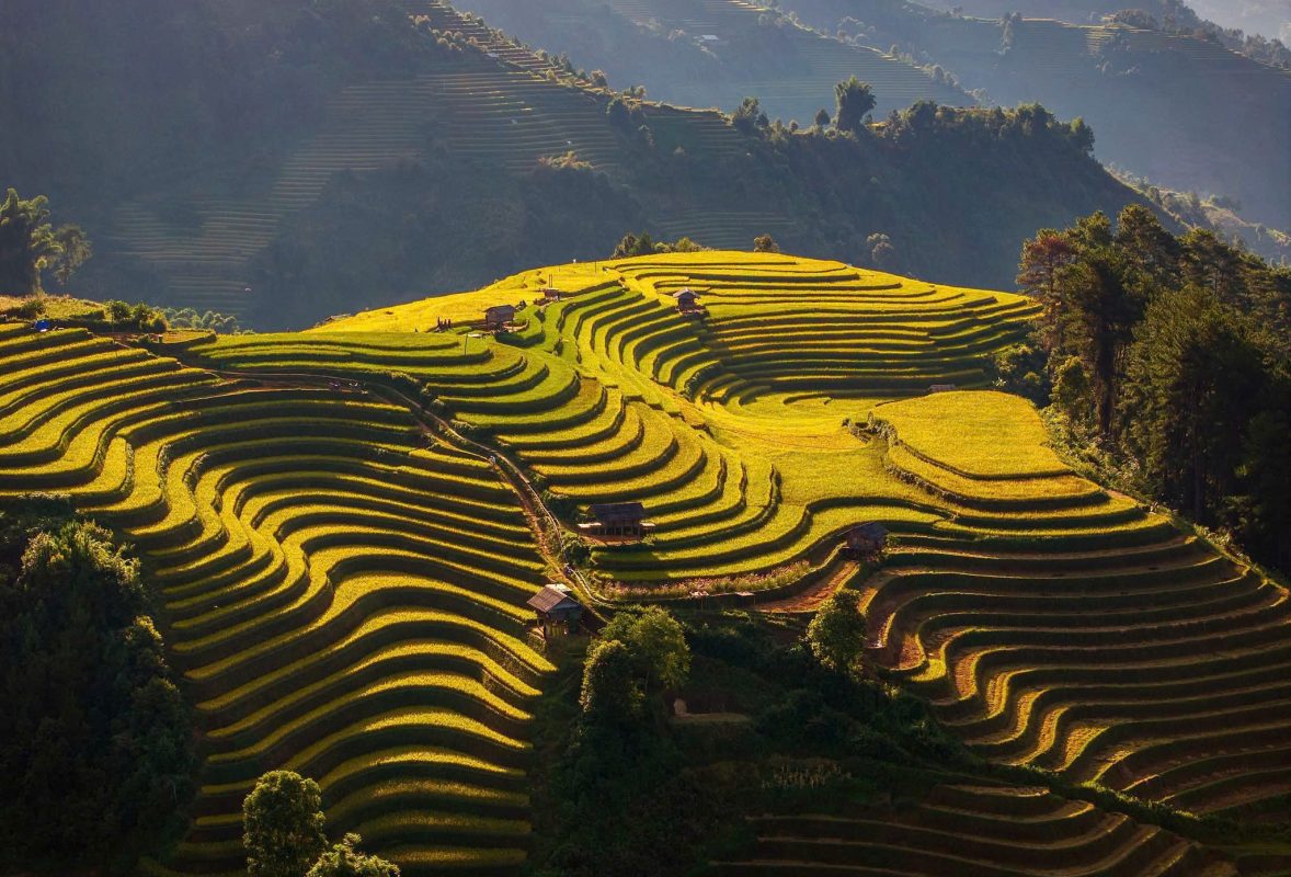
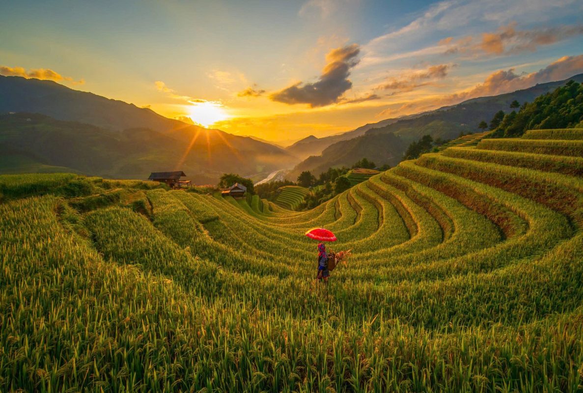
September and October are particularly famous for the rice terraces, when mountain fields can turn golden around harvest season. National Geographic identifies September to October as the peak season, with relatively dry conditions and comfortable temperatures for riding.
March and April generally offer cooler conditions and dry weather, making them attractive for road journeys.
May and June bring the landscapes back to vivid green as the rice-growing season develops.
June to August is the wettest period, with frequent rain, muddy roads and reduced visibility possible.
November to March can be cold, especially in the mountains. Early mornings may be particularly chilly, and warm layers are essential.
Ha Giang in the Golden Rice Season
For many photographers, September and October are the most visually rewarding months.
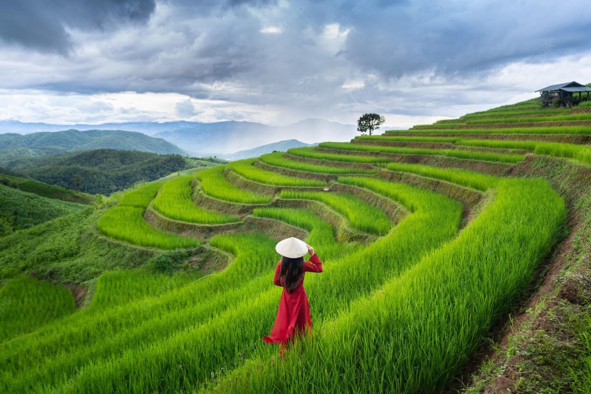
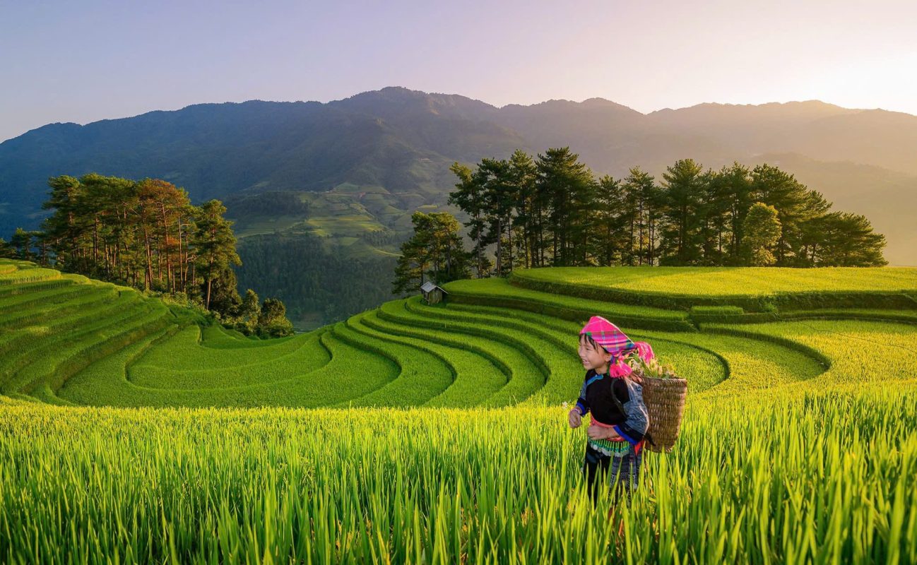
Rice terraces become golden against the dark green mountains, while the cooler weather makes long road journeys more comfortable.
The landscape can appear almost theatrical.
Golden fields descend into valleys.
Clouds gather around limestone peaks.
Motorbikes follow narrow roads along the mountainside.
And every bend seems to reveal another enormous panorama.
The exact timing of harvest varies according to altitude, weather and local farming conditions, so different valleys may change color at different times.
Ha Giang in the Green Season
May and June offer a completely different Ha Giang.
Instead of gold, the mountains are dominated by bright green rice terraces.
Water reflects the sky, vegetation is lush and waterfalls can be more dramatic after rain.
This is a particularly good period for travelers who prioritize scenery and photography over perfect road conditions.
The atmosphere can also be quieter than during the September–October peak.
Ha Giang During the Rainy Season
June through August can be beautiful but requires more flexibility.
Rain can arrive suddenly, and mountain roads can become slippery.
Clouds may obscure the highest passes, but they can also create dramatic atmospheric scenery.
If you travel during this period, a professional guide and a flexible itinerary are especially valuable.
Safety should always take priority over reaching a particular viewpoint.
Is It Safe to Ride the Ha Giang Loop?
Ha Giang is an adventure destination, and the roads should not be underestimated.
There are steep mountain passes, sharp bends, changing weather and sections where the road runs close to cliffs.
The increasing popularity of the loop has also brought greater attention to rider safety and licensing.
Lonely Planet advises travelers without a Vietnamese or international motorcycle license not to plan on driving the loop themselves and recommends joining a guided tour as a passenger or using a private car and driver instead.
National Geographic similarly notes the importance of proper documentation and explains that travelers can explore the loop with an experienced local driver rather than riding independently.
Easy Rider or Self-Riding?
For experienced motorcyclists with the correct license and confidence in mountain-road riding, self-riding can provide independence.
But Ha Giang is not an ideal place to learn how to ride a motorcycle.
The roads require concentration, especially around blind bends and steep sections.
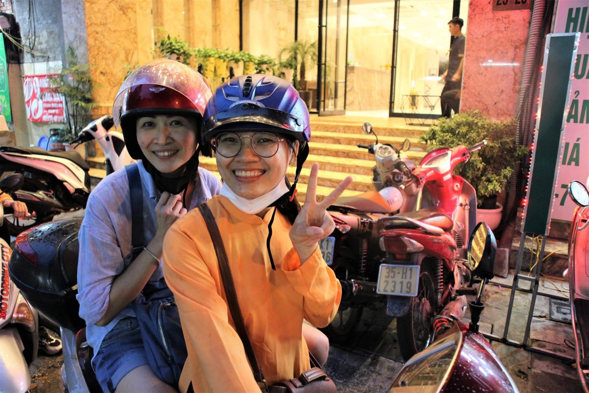
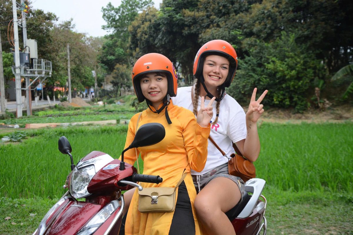
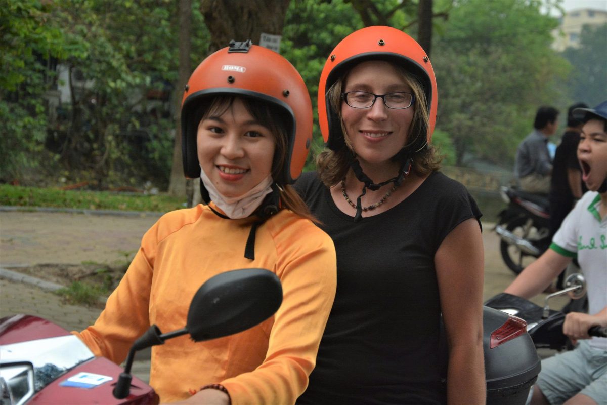
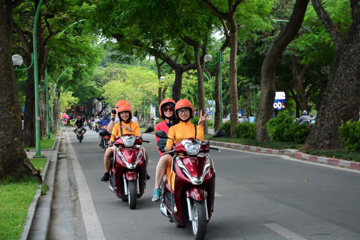
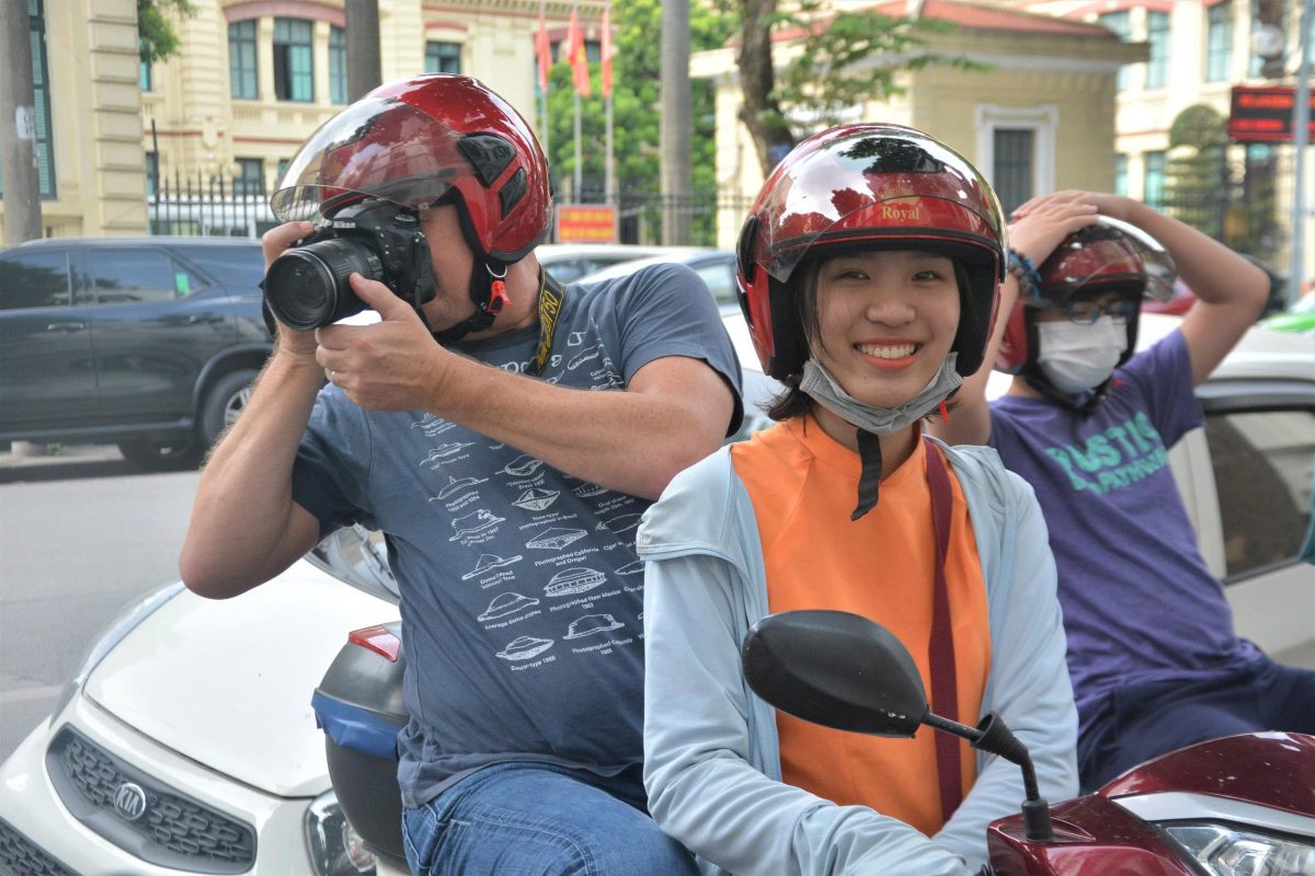
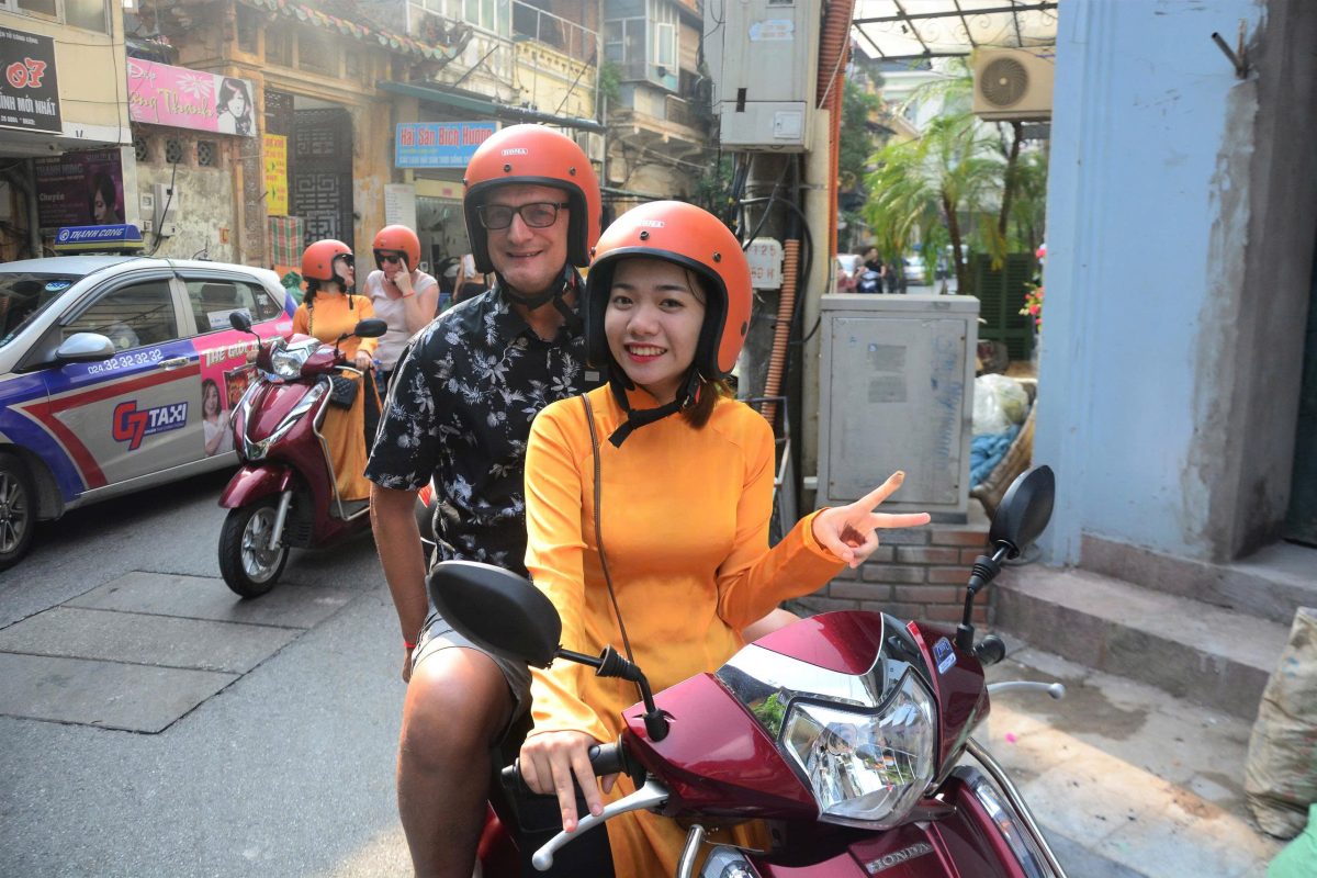
For international travelers who want the scenery without the responsibility of controlling the bike, an Easy Rider experience can be an excellent compromise.
You ride as a passenger behind an experienced driver while remaining free to concentrate on the landscape and photography.
Private Car Travel in Ha Giang
Not every traveler needs to ride a motorcycle.
A private car with an experienced driver can access the same major destinations while providing greater comfort, particularly for families, older travelers and luxury travelers.
The advantage is not simply safety.
You can also carry larger luggage, travel in changing weather more comfortably and spend longer at viewpoints without worrying about riding conditions.
For a premium private journey, this can be the best option.
The mountains remain exactly where they are.
You simply experience them from a more comfortable seat.
Ha Giang for Families
Families can experience Ha Giang successfully with the right itinerary.
A private vehicle allows the route to be adjusted around children’s ages and comfort levels.
Instead of spending eight hours on a motorcycle, families can combine scenic drives with short walks, village visits, boat trips and cultural experiences.
The Nho Que River, Lung Cu, Dong Van Old Town and selected villages can all provide variety without requiring constant physical activity.
Older children and teenagers may particularly enjoy the adventure of the mountain roads.
Ha Giang for Couples
Ha Giang offers a completely different type of romantic journey.
There are no luxury beach resorts or glamorous city restaurants.
Instead, romance comes from the landscape.
A private mountain road with no traffic.
A quiet lodge overlooking a valley.
Sunrise above the limestone peaks.
A boat journey through Tu San Canyon.
Dinner in a traditional mountain village.
For couples who prefer experiences to conventional luxury, Ha Giang can be unforgettable.
Ha Giang for Photographers
Few destinations in Vietnam offer such a concentrated variety of photographic landscapes.
Mountain passes provide huge panoramas.
Rice terraces change color throughout the year.
Traditional clothing creates vivid cultural imagery.
Markets offer movement and human stories.
The Nho Que River provides dramatic scale.
And the weather constantly changes the atmosphere.
The key is to leave enough time.
If you rush from one attraction to the next, you will spend the journey photographing from the side of the road.
If you slow down, you begin to see the details between the viewpoints.
The Food of Ha Giang
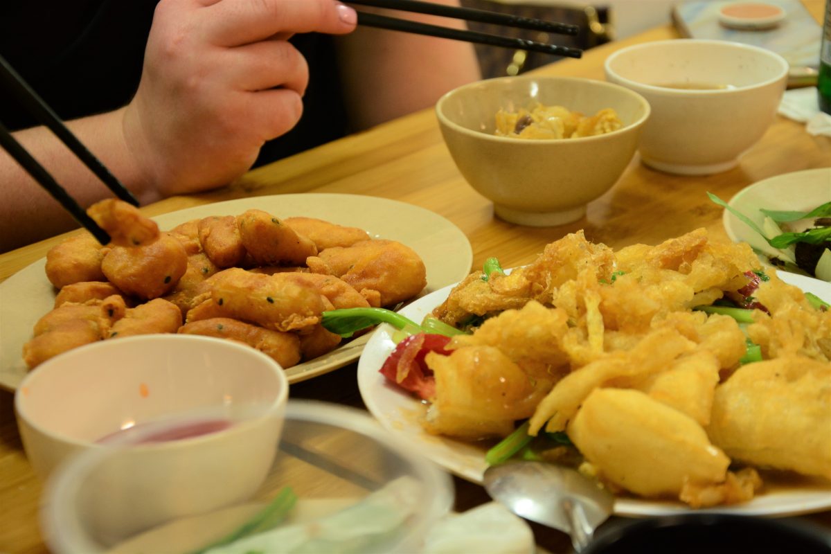
Ha Giang’s cuisine reflects its mountain environment and ethnic diversity.
Travelers can encounter dishes very different from the food found in Hanoi.
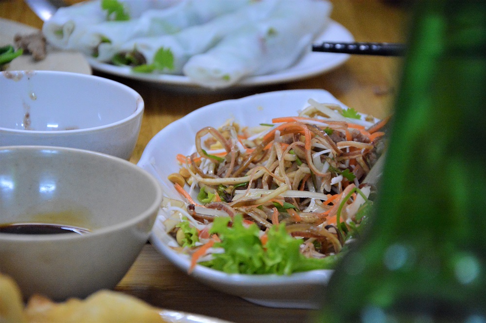
Thang Co, traditionally associated with Hmong communities, is one of the region’s best-known dishes.
Banh Cuon Trung is another popular northern specialty, often served with egg.
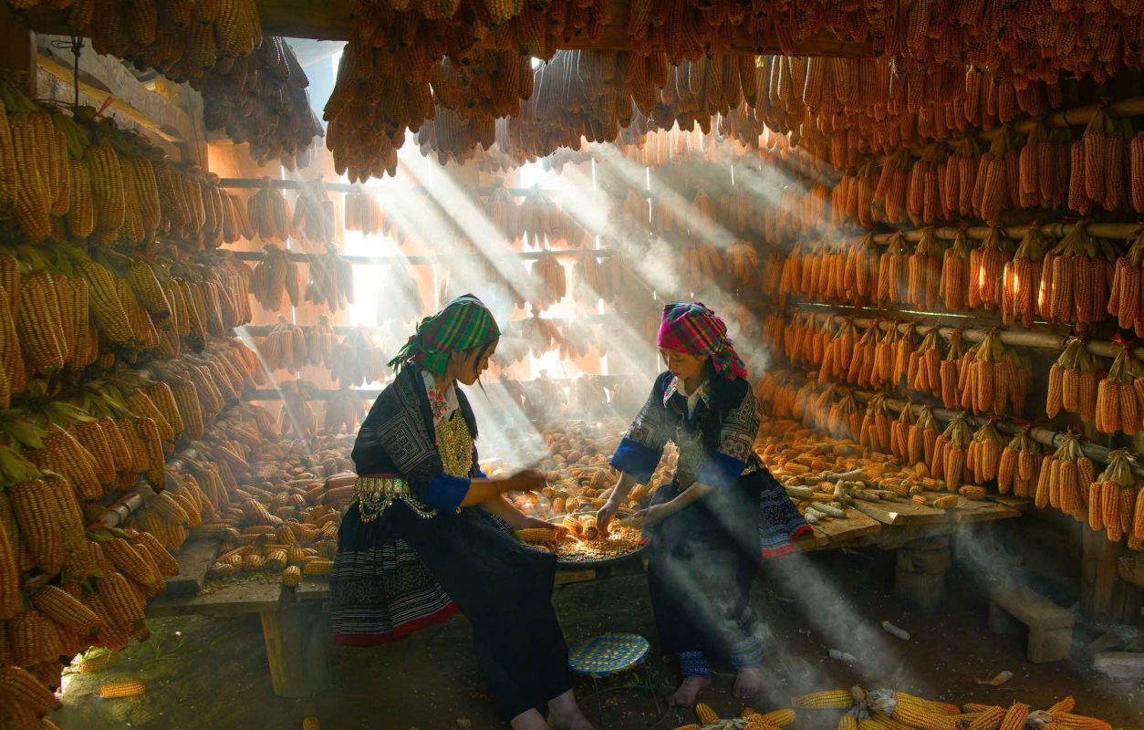
Corn is an important crop in the highlands, and corn-based dishes and drinks can be found in mountain markets.
Other regional foods include grilled meats, mountain vegetables, smoked meats and local noodles.
The food is generally straightforward and hearty, designed around ingredients available in the highlands.
Buckwheat Flowers
The buckwheat flower season is one of Ha Giang’s most distinctive seasonal experiences.
Fields of small pink, white and purple flowers appear across parts of the northern mountains, particularly around the Dong Van region.
The flowers are associated with the local agricultural landscape and have become an important cultural symbol of Ha Giang.
The flowering season generally occurs around autumn, although timing varies according to weather and location.
For photographers, the combination of buckwheat flowers, limestone mountains and traditional villages can create some of the region’s most memorable images.
Ha Giang’s Mountain Markets
Markets are among the best ways to experience the cultural diversity of the province.
Rather than a single permanent market serving tourists, many mountain markets operate according to weekly schedules and bring together people from surrounding villages.
Clothing, livestock, vegetables, tools, food and household goods can all appear.
But perhaps the most interesting part is the social dimension.
A market is a place to meet.
People travel considerable distances to attend, sometimes turning a simple shopping trip into a major social occasion.
Festivals in Ha Giang
Ha Giang’s cultural calendar includes festivals associated with different ethnic communities and agricultural traditions.
The Khau Vai Love Market, held in Meo Vac District, is perhaps the most famous.
Despite its name, it is not primarily a commercial market. It has become a cultural gathering associated with relationships, memory and reunion.
The event follows the lunar calendar, so the Gregorian date changes each year.
Travelers interested in attending should confirm dates and accommodation availability well in advance.
What to Pack for Ha Giang
Packing depends heavily on the season.
A good waterproof jacket is useful throughout the year because mountain weather can change quickly.
From November to March, bring warm layers, gloves and a proper jacket.
During summer, lightweight clothing, sunscreen and breathable fabrics are more comfortable.
For trekking, use shoes with good grip.
If traveling by motorcycle, a secure helmet and appropriate protective clothing are essential.
Even if your tour provides basic riding equipment, travelers should ask what safety equipment is included before departure.
Staying Overnight in Ha Giang
Accommodation varies dramatically throughout the province.
Ha Giang City has conventional hotels and guesthouses.
Smaller towns such as Dong Van and Meo Vac offer boutique hotels, guesthouses and homestays.
In more rural villages, traditional stilt-house homestays provide a much more immersive experience.
For premium travel, boutique mountain properties can combine traditional architectural elements with private rooms, modern bathrooms and panoramic views.
The best choice depends on whether you want cultural immersion or privacy.
Homestays and Cultural Experiences
A homestay can be one of the most memorable parts of the Ha Giang Loop.
Instead of sleeping in a conventional hotel, you stay in or near a traditional village house and share meals with your hosts.
The experience can provide a glimpse into daily life that is impossible to obtain from a roadside viewpoint.
However, quality varies.
Travelers looking for comfort should clarify whether rooms are private, whether bathrooms are shared and what type of bedding and facilities are provided.
Responsible Travel in Ha Giang
Ha Giang’s increasing popularity brings both opportunities and challenges.
Tourism provides income for transportation providers, guides, homestays, restaurants, craftspeople and communities.
But rapid tourism growth can also put pressure on roads, villages, waste systems and natural environments.
Responsible travelers should avoid littering, minimize plastic use and support locally owned accommodation and services when possible.
Most importantly, remember that the villages are people’s homes.
The mountains may look like a giant open-air museum.
They are not.
Respecting Local Communities
Ask permission before photographing people.
Dress appropriately when visiting homes or religious sites.
Avoid entering private houses without invitation.
If you buy handicrafts, take time to understand what you are purchasing rather than treating everything as a souvenir.
And when staying in a village, follow your host’s guidance.
These small choices can make the difference between tourism that simply passes through and tourism that contributes positively to the communities it visits.
How Many Days Do You Really Need?
For a classic first experience, 4 days and 3 nights is a strong starting point.
For a slower private journey, 5 days and 4 nights allows more time for villages, photography and cultural experiences.
A week or longer is ideal if you want to explore side roads and spend more time in places such as Du Gia, Kho Muong, Nam Dam or the Dong Van area.
The mistake is trying to see everything.
Ha Giang is too large and too dramatic for that.
Choose the landscapes and experiences that matter most to you, then leave enough time to enjoy them.
A Sample 5-Day Private Ha Giang Journey
Day 1 — Hanoi to Ha Giang
Leave Hanoi in the morning by private vehicle and travel north toward Ha Giang. The journey gradually leaves the Red River Delta behind as the landscape becomes more mountainous. Arrive in Ha Giang City and enjoy lunch before continuing into the surrounding countryside. Spend the afternoon exploring the city and riverside area or begin the first section of the loop toward the mountains. Stay overnight in a comfortable hotel or boutique property and prepare for the mountain journey ahead.
Day 2 — Ha Giang to Quan Ba and Yen Minh
After breakfast, begin the mountain road toward Quan Ba. Climb through the spectacular Bac Sum Pass and continue toward Heaven’s Gate, where the first major panorama of the Dong Van Karst Plateau opens beneath you. Stop to see the Twin Mountains before continuing through the mountains toward Yen Minh. Depending on your interests, add a visit to Nam Dam Village or Lung Tam weaving village. Stay overnight in a private lodge or carefully selected homestay surrounded by the mountains.
Day 3 — Yen Minh to Dong Van and Lung Cu
Continue north through the limestone mountains toward the historic Vuong Family Palace. Explore the old complex and learn about the history of the Hmong communities that once held significant influence in the region. Continue toward Lung Cu Flag Tower, where the road climbs through increasingly dramatic landscapes near the Chinese border. Visit Lolo Chai Village before traveling to Dong Van. Spend the evening exploring the old quarter and enjoy a relaxed dinner in town.
Day 4 — Dong Van, Ma Pi Leng, Nho Que River and Du Gia
Begin the day with one of the most spectacular drives in Vietnam as you leave Dong Van and enter Ma Pi Leng Pass. Stop at the mountain viewpoints and, if conditions allow, take a short walk along the Sky Path. Continue toward the Nho Que River and descend for a boat journey through the dramatic Tu San Canyon. Return to the mountain road and continue toward Meo Vac before traveling south toward the lush valley of Du Gia. Stay overnight in a peaceful mountain retreat or traditional-style homestay.
Day 5 — Du Gia to Ha Giang and Hanoi
Wake early to explore the rice terraces and quiet countryside around Du Gia before breakfast. If conditions are suitable, visit Du Gia Waterfall or take a short village walk before beginning the return journey toward Ha Giang City. Stop at viewpoints along the way and enjoy a final mountain lunch. Return to Ha Giang and continue by private vehicle toward Hanoi, arriving in the evening. Travelers with more time can extend the journey by adding additional nights in Du Gia or other mountain communities.
Ha Giang Is About the Road
The greatest mistake a traveler can make in Ha Giang is thinking only about the destinations.
Dong Van is beautiful.
Ma Pi Leng is spectacular.
Lung Cu is symbolic.
Nho Que River is unforgettable.
But the real experience exists between them.
It is the sound of the engine climbing a mountain road.
The sudden appearance of a valley through the clouds.
A farmer walking beside a field.
A child waving from a village path.
A roadside café overlooking a canyon.
A mountain pass where you stop simply because the view is too beautiful to continue.
This is why the Ha Giang Loop has become one of Vietnam’s defining road journeys.
The Mountains Are the Destination
Ha Giang does not reveal itself immediately.
The first hours may simply feel like a long drive from Hanoi.
Then the road begins climbing.
The valleys become narrower.
The limestone peaks appear.
The air becomes cooler.
And eventually the landscape opens into a panorama so large that the road beneath you seems almost insignificant.
That is the moment when you understand Ha Giang.
You are not here to reach somewhere.
You are here to travel through the mountains.
Why Choose Vietnam Women Travel for Ha Giang?
Vietnam Women Travel – Premium Private Tours Led by Women creates private journeys through Ha Giang for travelers who want the extraordinary scenery without sacrificing comfort, safety or personal service.
The Ha Giang Loop can be experienced in different ways. Travelers who love motorcycles can choose a private Easy Rider journey with an experienced driver. Families and luxury travelers can explore the same landscapes by private car. Couples can combine mountain roads with boutique accommodation, private dining and carefully selected cultural experiences.
Our approach is deliberately flexible.
Rather than rushing through the standard four-day loop, we can create a private itinerary based on what you actually want to experience.
More photography.
More villages.
More trekking.
More time on the Nho Que River.
More comfort.
Or simply more time to stop when the mountains demand your attention.
Ha Giang Beyond the Instagram Photograph
Ha Giang has become famous around the world because its landscapes photograph beautifully.
But a photograph cannot capture the scale of the mountains.
It cannot capture the cold wind on Ma Pi Leng.
It cannot reproduce the sound of a river far below the road.
It cannot show how quickly the weather changes.
And it cannot explain what it feels like to share a mountain road with farmers who have used these valleys for generations.
The photograph is only the invitation.
The journey is the experience.
A Journey Worth Taking Slowly
Ha Giang is one of those rare destinations where adding another day can make the journey better rather than simply longer.
One more morning can mean a quiet village walk.
One more afternoon can mean time on the Nho Que River.
One more night can mean staying in Du Gia instead of rushing back to Ha Giang.
One more stop can mean discovering a viewpoint that was never on your original itinerary.
This is why private travel works particularly well here.
The mountains do not follow a schedule.
Your journey does not always have to either.
Plan Your Ha Giang Journey
Ha Giang is Vietnam at its most dramatic: enormous limestone mountains, winding roads, deep valleys, ancient geological landscapes and communities whose traditions remain closely connected to the land.
From the first climb through Quan Ba to the towering cliffs of Ma Pi Leng, from the markets of Dong Van and Meo Vac to the peaceful rice fields of Du Gia, every section of the journey reveals another side of the northern mountains.
With Vietnam Women Travel – Premium Private Tours Led by Women, your Ha Giang adventure can begin in Hanoi and continue through the mountains with private transportation, carefully selected accommodation, experienced women-led travel support and a flexible itinerary designed around your pace.
Come for the famous road.
Stay for the mountains.
Slow down for the villages.
And leave with a deeper understanding of one of Vietnam’s most extraordinary landscapes.
Vietnam Women Travel – Premium Private Tours Led by Women
Private journeys. Women guides. Authentic Vietnam.